Services & Pricing
Transparent Pricing, Professional Results
Pricing varies based on parcel size, terrain, and research complexity. Contact us for a free project estimate — most quotes provided within 24 hours.
Boundary Surveys
Legally establish your property lines with precision measurements referenced to recorded deeds and plats. Essential for real estate transactions, fence installation, and resolving neighbor disputes.
- Deed and plat research
- Field measurement with licensed equipment
- Property corner monument placement
- Recorded survey plat delivered
- Digital and paper copies included
Topographic Surveys
Detailed contour and elevation mapping for site planning, drainage design, grading, and construction engineering. Delivered in AutoCAD or GIS-compatible formats.
- Elevation and contour data collection
- Spot elevations at critical locations
- Existing structures and utilities noted
- AutoCAD DWG + PDF deliverables
- Suitable for engineering permit submittals
Construction Layouts
Translate approved engineering plans to the ground with precision staking for foundations, utilities, roads, and site improvements. Supports new construction and infrastructure projects.
- Foundation corner and offset staking
- Road and utility corridor layout
- As-built verification surveys
- Coordination with project engineers
- Multiple mobilizations available
Geospatial Mapping
Advanced GIS data collection, aerial mapping, and spatial analysis for land developers, municipalities, and commercial clients requiring large-scale or specialized mapping solutions.
- GIS data layer creation and management
- Drone-assisted aerial mapping
- Parcel and land use mapping
- Custom spatial analysis reports
- Compatible with ESRI, QGIS platforms
Simple, Transparent Process
Free Consultation
Call or email us with your project details. We discuss scope, access, and timeline — and provide a written estimate within 24 hours.
Research & Preparation
We pull recorded deeds, plats, and tax records from the Houston County courthouse to prepare for accurate field work.
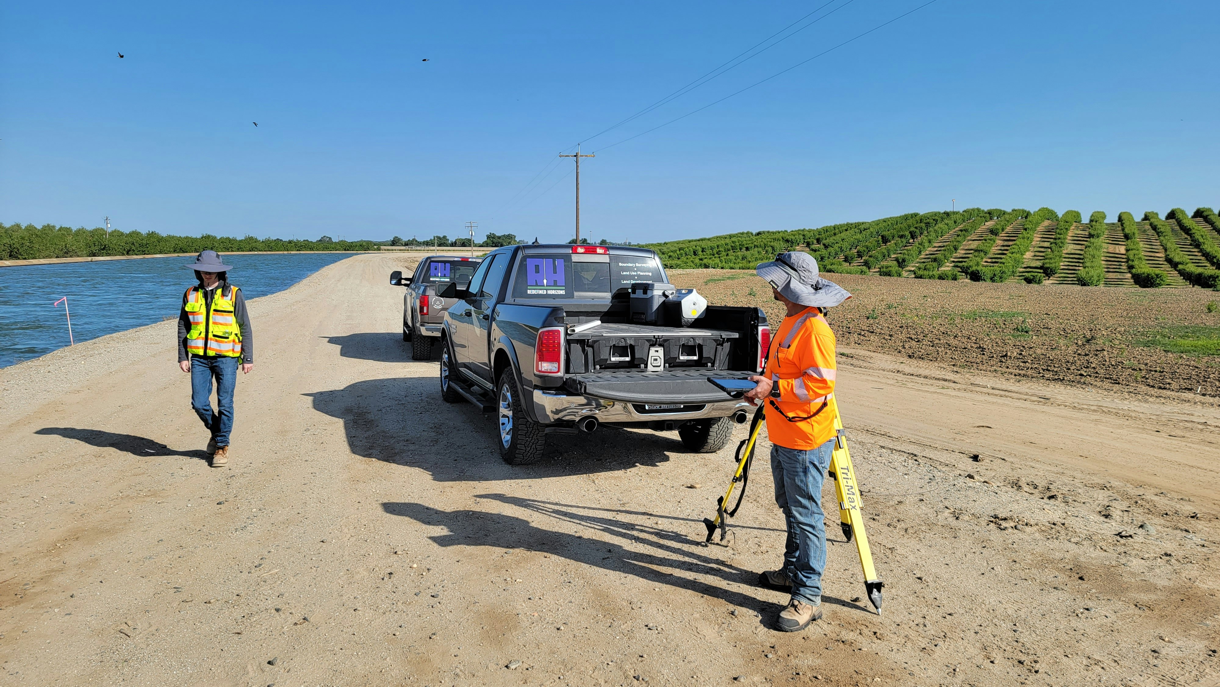
Field Survey
Licensed surveyors conduct precise measurements using GPS and total station equipment, documenting all relevant features.
Deliverables
Receive a stamped survey plat, digital files, and field notes. We walk you through the results and answer any questions.
Ready to get started?
Free estimates for all projects. Most quotes within 24 hours.