
Our Services & Products
Four Core Survey Services
Each service is performed by Mike Clarke and the Traverse Land team using licensed equipment and delivered with a complete documentation package.

Property Line Determination
Boundary Surveys
Accurate property boundary measurements that establish legal lines for real estate transactions, fence installation, construction setbacks, and neighbor dispute resolution.
Deliverables Include:

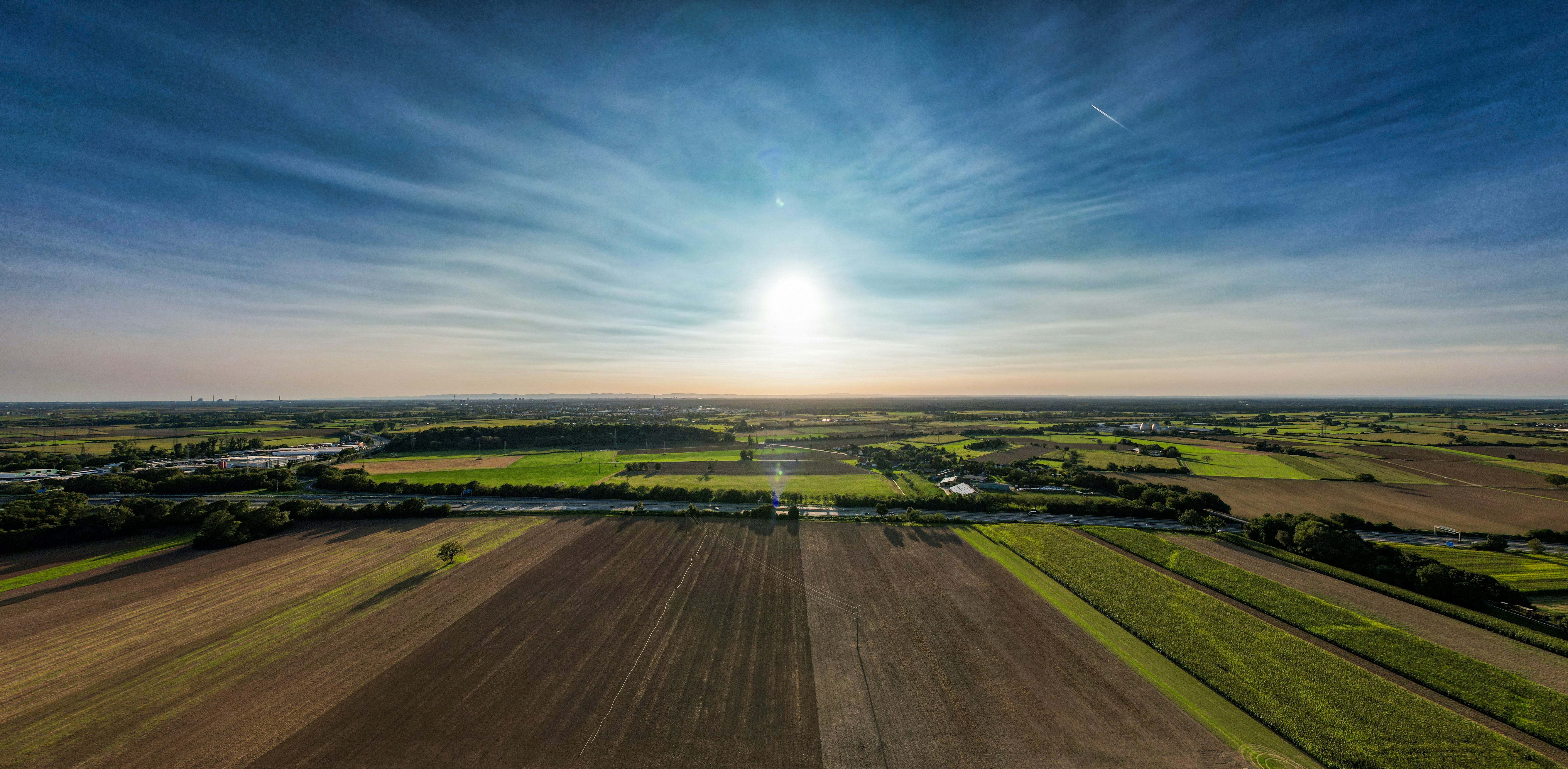
Elevation & Contour Mapping
Topographic Surveys
Detailed land mapping capturing elevation changes, contours, drainage patterns, and existing structures for engineering design, site planning, and permit submittals.
Deliverables Include:
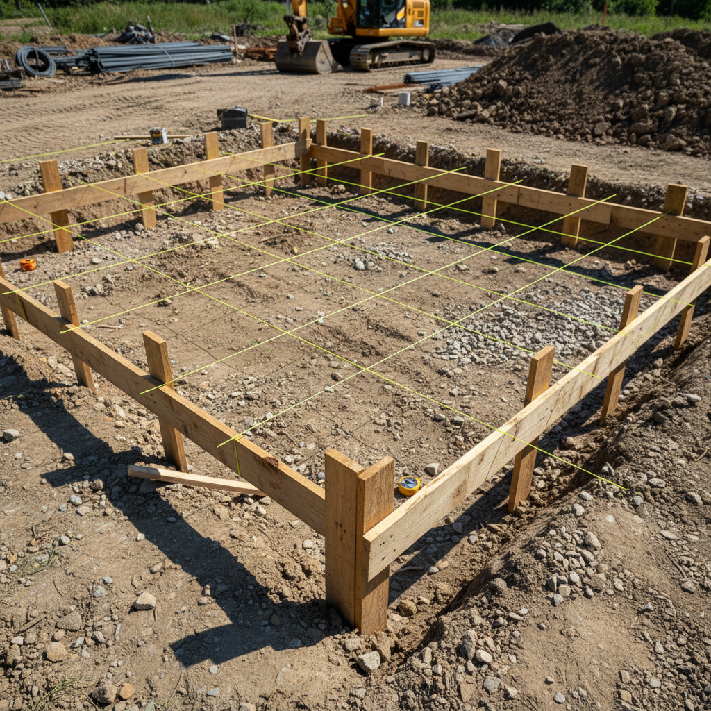
Site Staking & Field Layout
Construction Layouts
Translate approved engineering plans to precise ground positions. Foundation staking, utility corridors, road alignments, and as-built verification for new construction projects.
Deliverables Include:
GIS & Advanced Spatial Data
Geospatial Mapping
Advanced mapping solutions using GIS technology, drone-assisted aerial data collection, and spatial analysis for commercial clients, municipalities, and large-scale land development.
Deliverables Include:
Not sure which service you need?
Call or email us — we'll help you identify the right survey for your project.